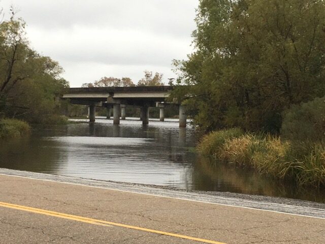
What is known as Shell Bank Bayou intersects with a wide spot on the shell-covered shoulder of the Manchac Greenway/old US 51 and has been used for years as a fishing hole and boat launch. Because it is sloped gently to the water, is it ideal for trailer-launching small motorboats and hand-launching paddle-craft and has long been popular with camp owners, fishermen and hunters heading into the nearby bayous, canals and lakes.
The Shell Bank Bayou launch. The entrance into the WL&F Maurepas Swamp WMA is on the other side of the I-55 bridge.
Because of the launch’s close proximity to the I-10 and I-55 Interstate exits, it now attracts thousands of ecotourists eager to see the beautiful Louisiana swamp in the huge Maurepas Swamp Wildlife Management Area next door. Ecotourism companies using paddle-craft to show out-of-town guests the beauty of Louisiana’s swampland sometimes crowd the site and visitors are encouraged to park on either side to help keep the launch accessible and watch for highway traffic.
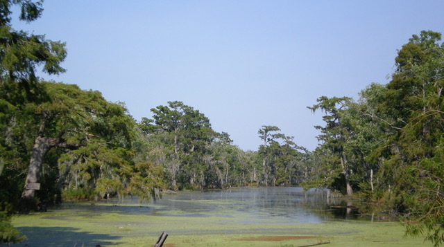
Shell Bank Bayou looking east toward Lake Pontchartrain
Three canoe/ecotourism companies offering guided tours from the Shell Bank Bayou launch into the Maurepas Swamp have adopted a nearby mile of the Manchac Greenway in the LA DOTD Adopt-A-Mile litter collection program:
Archaeological Site Unknown to many visitors, what people have been calling Shell Bank Bayou is also called Bayou Jasmin. On the north bank, where the elevated interstate and its construction canal are now located, is a place of considerable archaeological significance.
When the I-55 Canal was excavated in the 1970s it cut through the bayou’s natural levee and dredged up numerous artifacts from the occupation of the site by Tchefuncte Culture Indians. LSU archaeologists went to work and were able to deduce that the site, in the middle of what some might think of as an isolated, desolate neck of swampland between the two lakes, was in continuous use by thousands of Native Americans for over 2,200 years – between 800 BC – 1400 AD! During this long period a midden (trash pile) the size of a football field was deposited on the ground.
The wet, anaerobic soil that covered this site preserved the Indian’s leavings, revealing their livelihood – what food they ate – seeds, animals bones, fish scales, etc. – and the things they used – pottery fragments, carvings and cordage and things they traded from upland tribes like stone tools. Clearly, they had sustained themselves very well by traveling from this central site to hunt the game, gather the area’s resources and access its trade networks from neighboring woods, bayous and lakes.